In September 2023, the National Oceanic and Atmospheric Administration’s (NOAA’s) National Integrated Drought Information System (NIDIS) and the Confederated Salish and Kootenai Tribes of the Flathead Reservation convened the Workshop for Building Drought Resilience in a Changing Climate with Upper Columbia and Missouri Basin Tribes. This workshop, which built off of existing efforts to advance the NIDIS Tribal Drought Engagement Strategy, was an opportunity to…
Read More
This in-depth report provides new insights into how climate change is impacting the Pacific Northwest across multiple sectors, including drinking water, agriculture, forestry, fisheries, recreation, hydropower, and storm water. Brimming with research as well as first-hand accounts, this report helps inform planning, response actions, and further research across the Pacific Northwest. The report features original icons, maps, charts, and graphs, and connects readers to the…
Read More
Heat is the #1 weather-related cause of death in US. With increased severity of heat seasons, communities need guidance to create location-specific heat plans. The National Heat Strategy, published in 2024, is designed to provide a roadmap for communities across the US to plan, coordinate with local stakeholders, and address heat emergencies proactively. This roadmap is a whole-of-government effort representing the work of 23 different…
Read More
Stylish, in-depth report that tells the story of the year in water in the Pacific Northwest
Read More
Published by the U.S. Global Change Research Program, Climate Literacy is the leading climate education resource for educators in the classroom and in the field. This third edition represents the collective efforts of 15 federal agencies and the White House to share the latest understanding, impacts, and work in climate science. You can view the full guide here. The story of climate change and its…
Read More
The University of North Carolina Wilmington’s Center for Innovation and Entrepreneurship developed ALL BLUE, an innovative economic hub to help establish SE North Carolina as a national leader in the rapidly-growing, ocean-based Blue Economy. ALL BLUE brings together entrepreneurs, scientists, faculty, and various specialists working to develop the region as a technology innovator. ALL BLUE is accelerating the emerging knowledge-based economic model for the Cape…
Read More
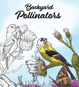
We developed Backyard Pollinators to give people a new lens to understand the activity happening at their feet and in their backyard. This innovative coloring book explores a cross-section of the range of species that serve as pollinators in North America, from the well-known to delightful surprises. The book also illuminates unique pollinator/plant relationships and strategies. Leading natural science illustrators from across the country contributed…
Read More
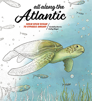
This educational coloring book highlights the stunning array of life in the North Atlantic and along the Atlantic coast. All Along the Atlantic guides the reader from offshore to inshore waters and beaches, and then inland to marsh, tidal estuaries, and cypress swamp. We created the concept for the book, lead the project, curated the images and write ups that accompany the illustrations, developed a…
Read More
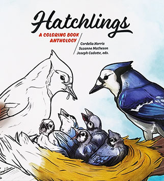
Hatchlings is an educational coloring book celebrating North America nesting birds and their young. Each entry is accompanied with informative text, making Hatchlings a hybrid coloring book/field guide. This anthology contains 35 original illustrations by leading natural science illustrators. We created the concept for the book, lead the project, performed extensive research, curated the images and entries that accompany the illustrations, designed the book and…
Read More
For the US Government’s first map folio of Cuba, we endeavored to bring the story of Cuba’s history, peoples, economy, geography, and climate to life with a combination of smart data visualization, original cartography, and stunning photography. Inspired by the vibrant colors, classic architecture and unique landscapes of the island, I designed and art directed the map folio. A team of cartographers at the CIA…
Read More